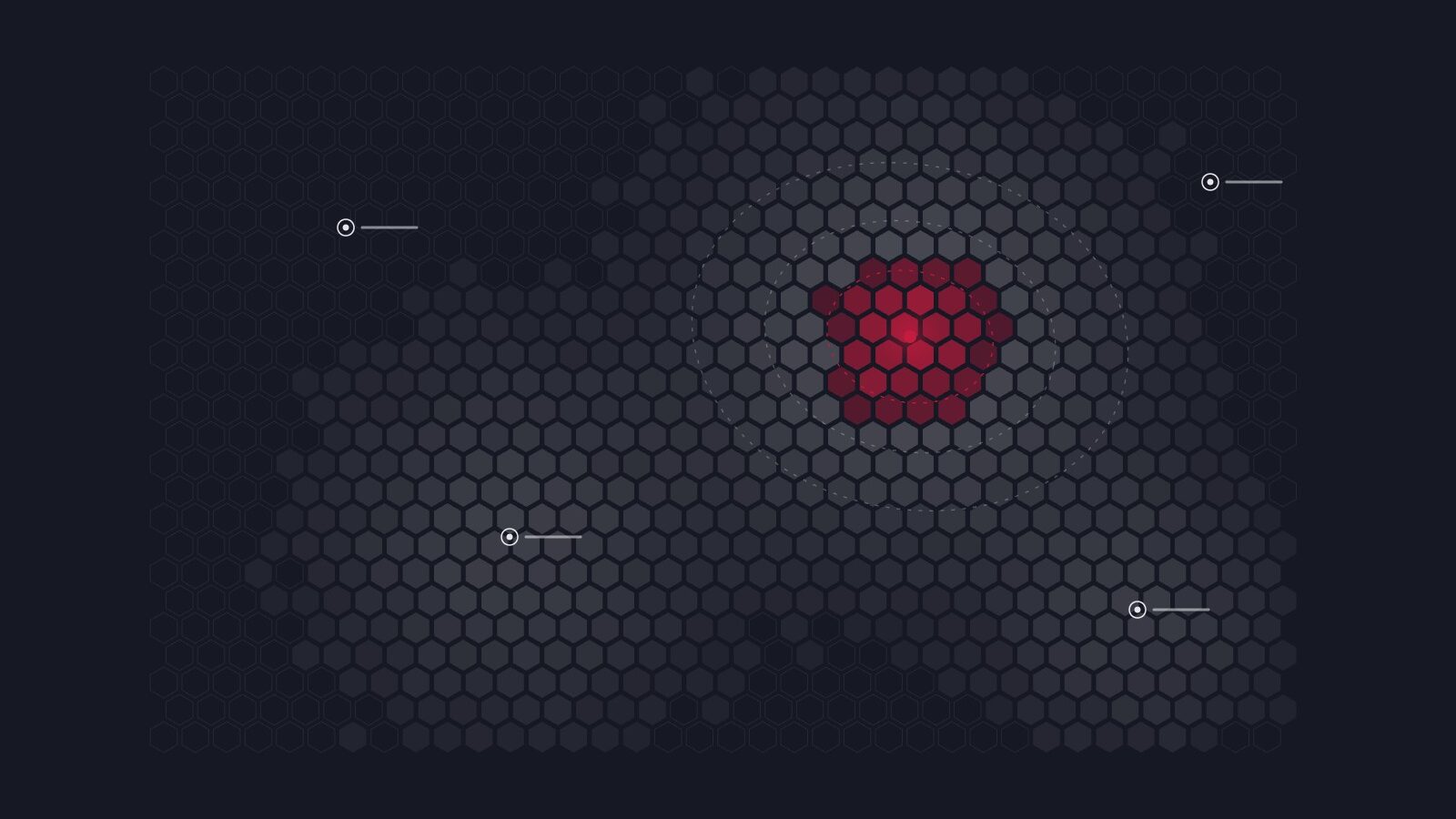
Spatial Analysis

Location-based analysis and mapping that puts data on the map to show what is happening where.

Where a trend is concentrated is often as important as the trend itself. In spatial analysis, we combine research, demographic, electoral and organisational data with geographic information, revealing patterns at different scales, from the neighbourhood to the province.

From choosing a location for a new store or service point to planning field teams, from the geographic distribution of a target audience to analysing regional differences, we answer a wide range of questions through maps.

Questions it answers

  • In which areas is our target audience concentrated?
  • Where should we open a new branch or service point?
  • What explains the differences between regions?
  • How should we plan our fieldwork and teams geographically?

Methods

  • GIS-based analysis
  • Thematic mapping
  • Accessibility and catchment analysis
  • Matching with demographic and electoral data

Deliverables

  • Thematic maps
  • Interactive map
  • Analysis report
  • Geographic dataset

Typical duration 2–5 weeks


← All services

Have a question?

If you have a question in mind, let’s shape it together. We’ll think through the rest with you.